
Geographic Information Systems
“Measure twice, cut once.” That concept applies equally to resource management as it does carpentry. For us, tactical precision is enhanced through our expert GIS team. We specialize in map production, GIS programming and analysis, remote sensing (imagery classification and processing), customized databases, application development and maintenance, civil engineering and 3D visualization projects.
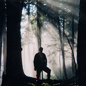
We start our forestry projects with analysis. You too will be better informed with expert intelligence from our experienced staff.
Look to us to provide a framework and tactical map. This process begins with GIS.
Services Offered
- Geographic Information Systems
- Database analysis
- Mapping
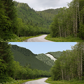
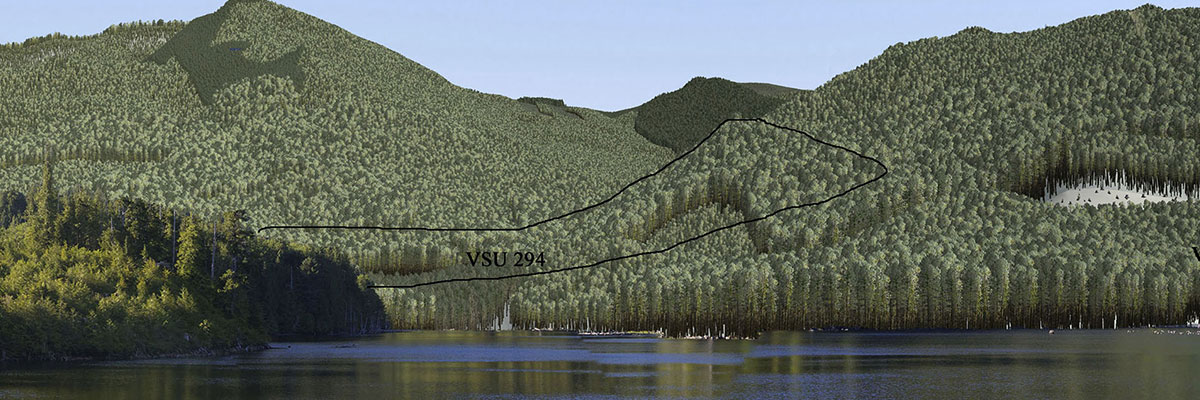
- Visual impact modelling
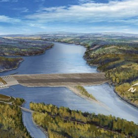
- 3D Simulations
- Electronic Forest Tenure Submissions
Our Services
Sectors Served
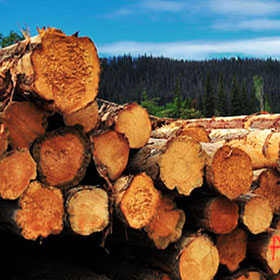
- Forestry
- Internal Support
Department Contacts
Rob Schuetz
Department Head